The Story
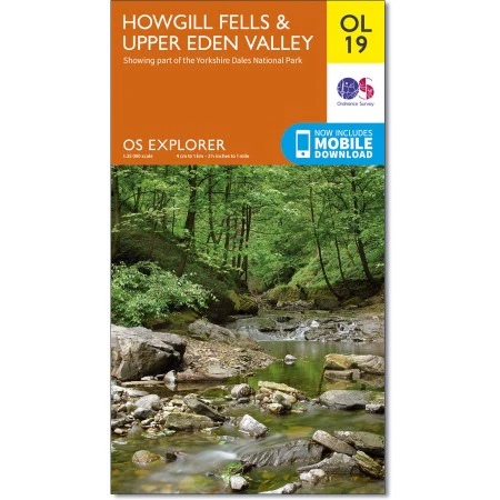
Howgill Fells & Upper Eden Valley OS Explorer OL19
Showing part of the Yorkshire Dales National Park
Scale 1:25 000 4cm to 1km - 2 1/2in to 1 Mile
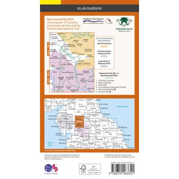
Map sheet number OL19 in the OS Explorer series covers Appleby-in-Westmorland, the Howgill Fells, Sedbergh, Upper Eden Valley and Kirkby Stephen. Highlights of the area include: Yorkshire Dales National park, North Pennines, Pennine Way, River Eden, Great Shunner Fell and Hardraw.madog.
With this map you will receive a code for use on your iOS or Android smartphone or tablet
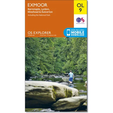
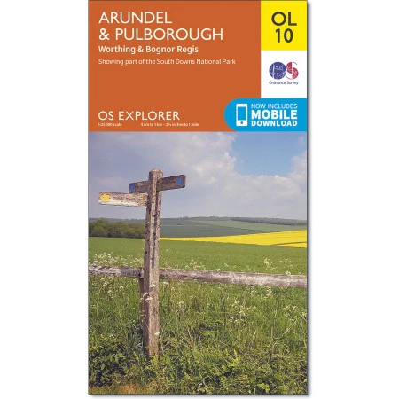
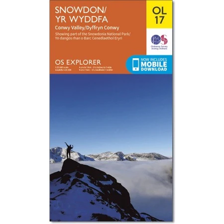
OS Explorer Maps are ideal for walking, running, horse riding, off-road cycling and even kayaking and climbing.
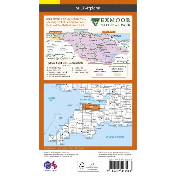
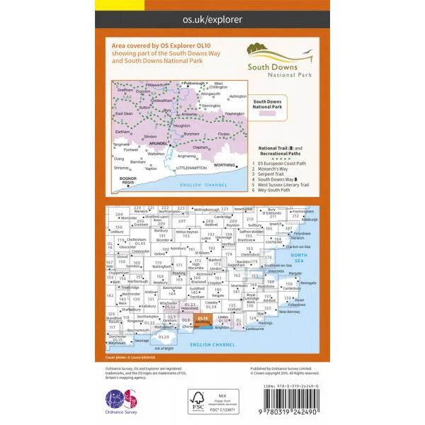
They are at 1:25,000 scale, so every 4 cm on the map equals 1 km in the real world. They show the best detail including footpaths, rights of way, open access land and the vegetation on the land.
Details & Craftsmanship
Every detail has been carefully considered to bring you the perfect product.
Description
Howgill Fells & Upper Eden Valley OS Explorer OL19
Showing part of the Yorkshire Dales National Park
Scale 1:25 000 4cm to 1km - 2 1/2in to 1 Mile
Map sheet number OL19 in the OS Explorer series covers Appleby-in-Westmorland, the Howgill Fells, Sedbergh, Upper Eden Valley and Kirkby Stephen. Highlights of the area include: Yorkshire Dales National park, North Pennines, Pennine Way, River Eden, Great Shunner Fell and Hardraw.madog.
With this map you will receive a code for use on your iOS or Android smartphone or tablet
OS Explorer Maps are ideal for walking, running, horse riding, off-road cycling and even kayaking and climbing.
They are at 1:25,000 scale, so every 4 cm on the map equals 1 km in the real world. They show the best detail including footpaths, rights of way, open access land and the vegetation on the land.