The Story
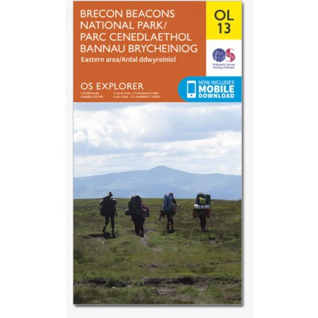
Brecon Beacons National Park (Eastern Area) OS Explorer OL13
Parc Cenedlaethol Bannau Brycheiniog (Ardal Ddwyreiniol)
with mobile download
Scale 1:25 000 4cm to 1km - 2 1/2in to 1 Mile
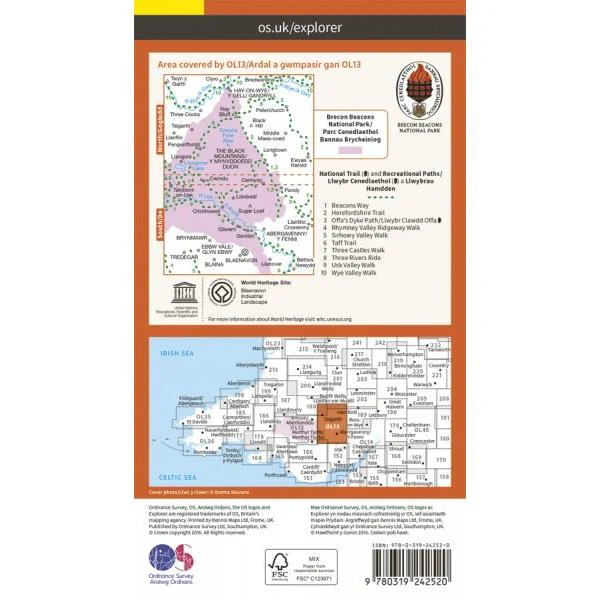
Encounter big open spaces and green landscapes when exploring the nature reserves, caves and waterfalls in the Brecon Beacons.
Find tree-covered gorges, impressive limestone rocks and medieval castle ruins such as Crickhowell Castle.
With this map you will receive a code for use on your iOS or Android smartphone or tablet
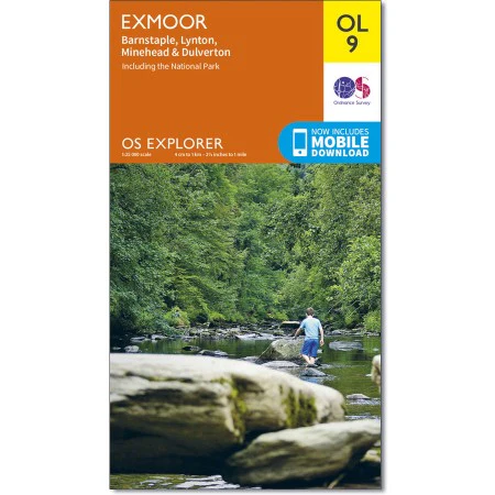
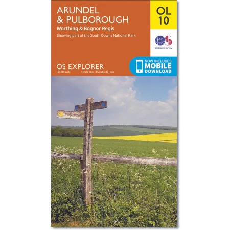
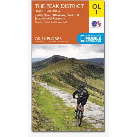
OS Explorer Maps are ideal for walking, running, horse riding, off-road cycling and even kayaking and climbing.
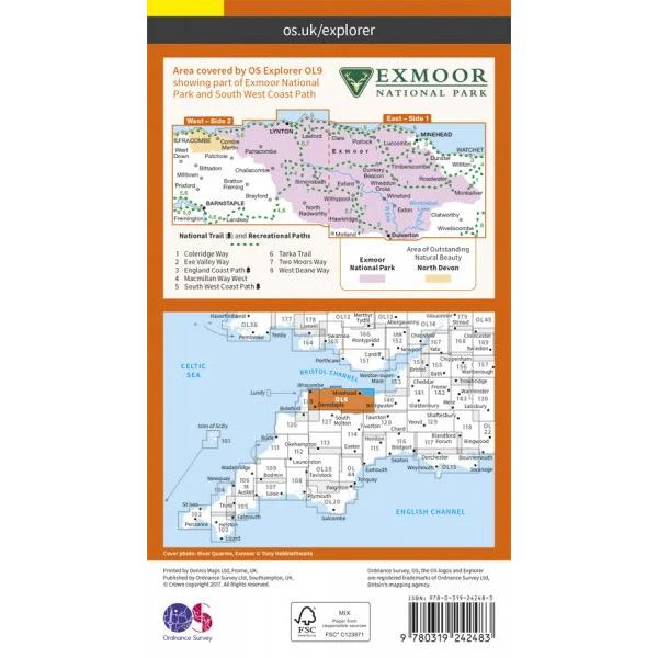
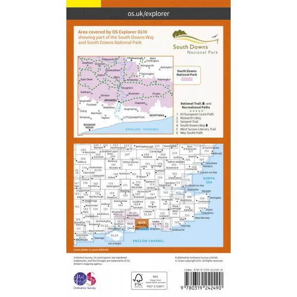
They are at 1:25,000 scale, so every 4 cm on the map equals 1 km in the real world. They show the best detail including footpaths, rights of way, open access land and the vegetation on the land.
Details & Craftsmanship
Every detail has been carefully considered to bring you the perfect product.
Description
Brecon Beacons National Park (Eastern Area) OS Explorer OL13
Parc Cenedlaethol Bannau Brycheiniog (Ardal Ddwyreiniol)
with mobile download
Scale 1:25 000 4cm to 1km - 2 1/2in to 1 Mile
Encounter big open spaces and green landscapes when exploring the nature reserves, caves and waterfalls in the Brecon Beacons.
Find tree-covered gorges, impressive limestone rocks and medieval castle ruins such as Crickhowell Castle.
With this map you will receive a code for use on your iOS or Android smartphone or tablet
OS Explorer Maps are ideal for walking, running, horse riding, off-road cycling and even kayaking and climbing.
They are at 1:25,000 scale, so every 4 cm on the map equals 1 km in the real world. They show the best detail including footpaths, rights of way, open access land and the vegetation on the land.